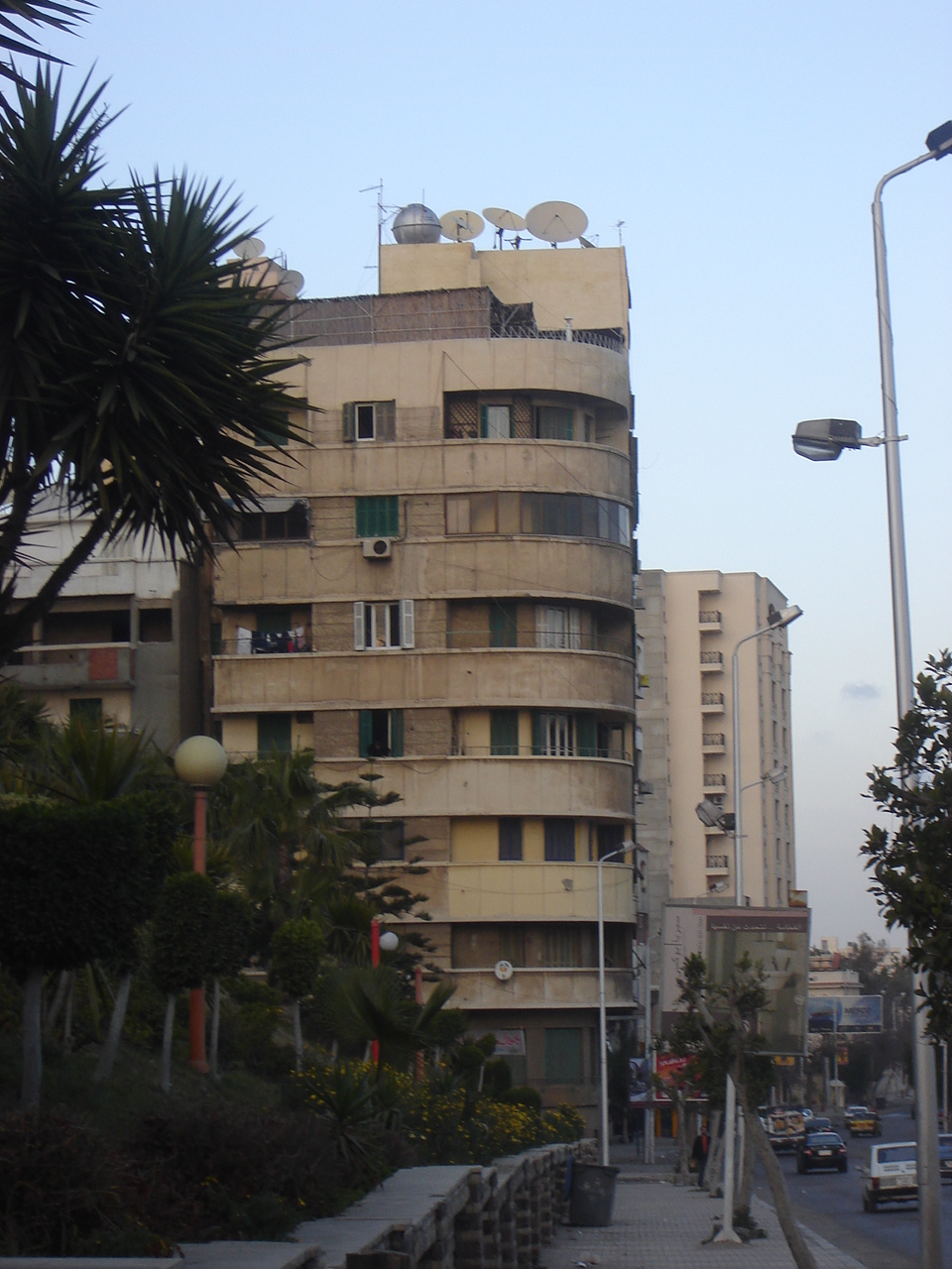
General view of the building
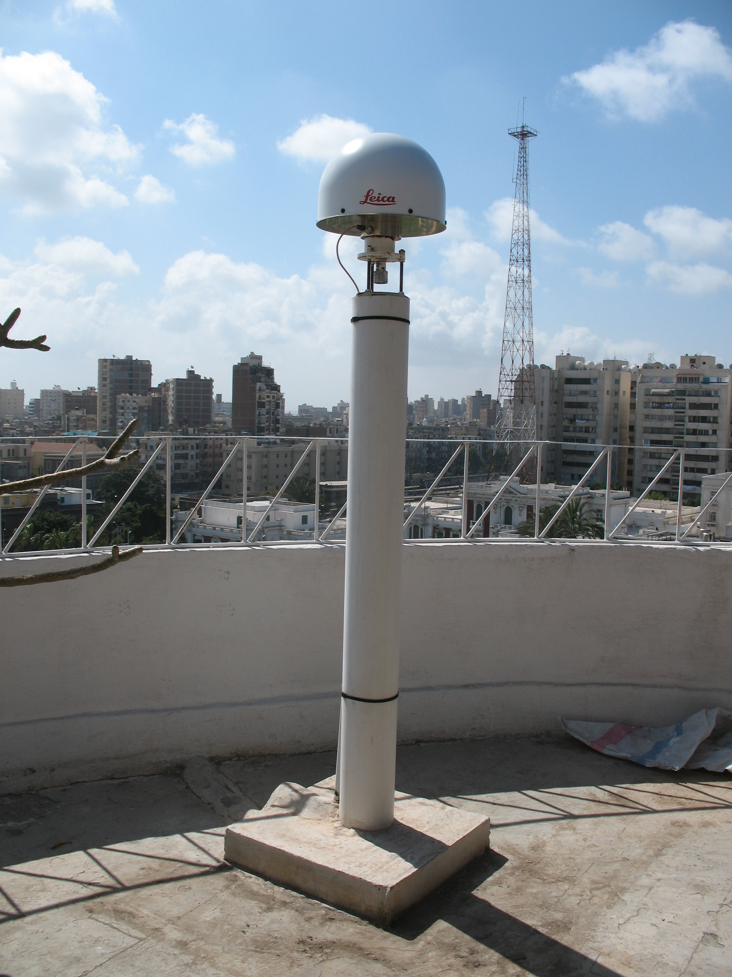
View of the GPS station
The Centre d'Etudes Alexandrines
Founded in 1990 by Jean-Yves Empereur, Director of Research with the French Centre National de la Recherche Scientifique (CNRS), the mission of the Centre d'Etudes Alexandrines (CEAlex) is to study the long and rich history of Alexandria, Egypt. These studies involve archaeological excavations on land and underwater, surface prospections, and the examination of archives, ancient maps and texts as well as voyagers' accounts over the centuries.
The Topography Department
The specialist staff of this department is responsible for surveying the excavations in order to draw up accurate site plans, an important tool for the archaeologists. Since 1995 the CEAlex has been in partnership with the Ecole Supérieure des Géometres et Topographes (ESGT) of Le Mans, France, and each year receives students working towards their final diploma.
Various research areas have been explored since 1995 including the creation of a Geographic Information System, the conception of a photo-theodolite, and the development of a computer programme to deal with the superimposition of ancient maps. In 2001, the CEAlex, in collaboration with the ESGT, decided to install a permanent Global Positioning System (GPS) station.
Using the GPS
In 1995 the Topography Department of the CEAlex acquired GPS equipment (Leica system 200 L1 frequency) with two antennae AT201, two sensors SR261 and two controllers CR333. During the period from June 1996 to June 1998, and thanks to the sponsorship of the Leica company, the CEAlex also had the free use of a real time GPS system 300, dual frequency.
In 1998, a reference point was installed on the roof of the building in which are situated the premises of the CEAlex in the heart of Alexandria. After two 24-hour observation sessions, the coordinates were calculated within the global reference system, ITRF. Since then, this point has served to link all the archaeological excavations into the one reference system.
The Permanent GPS Station: first free access station in Egypt
At the end of the year 2000, Jean-Yves Empereur decided to transform this reference point into a permanent GPS station. The installation of this station was conceived as the final year project of a student from the ESGT and was undertaken during the first semester of 2001. The realised project was approved and accepted by an academic jury on 10 September of the same year.
Since 1 December 2001, the resultant data has been available for free downloading from the internet, which represents a first in Egypt.
|
|
|
|
|
General view of the building
|
View of the GPS station
|
latest update: 26/06/2006